|
The Exodus Part I: Goshen to Aqaba.
Someday we'll be able to say we have traveled the
40 year exodus. So far, however, we can only say we covered the first couple of
years - in a four day drive in the
Sinai, retracing the exodus from Goshen to the sea of Aqaba. The drive was a prelude to a
Passover Seder with our cousin
Efrat
Lifshitz and her family in Haifa in 2000.
Keep in mind that there is no solid historical or
archeological evidence that the Exodus ever took place. No one really
knows the Exodus route (if there ever was one). But tracing the exodus
path is a fun excuse for touring a wonderfully scenic and less-traveled region
of Egypt. We followed the so called Southern route version, which is one
of many interpretations of the Biblical text (in The Fourth Book of Moses:
Called Numbers, chapter 33, which starts with "These
are the journeys of the children of Israel, which went forth out of the land of
Egypt with their armies under the hand of Moses and Aaron"). Here is the itinerary, and pictures of how things look now along the route that the
Israelites supposedly took ~1000 B.C.
On arriving in Egypt we spent two days in Cairo, staying at
the Cairo Hilton Rameses
[$$], (appropriate enough since the exodus story begins in ancient Rameses).
The hotel offered a nice view of the Nile and Pyramids (seen through much haze) in the distance.
We visited the famous
Khan-al-Khalili Suk (market) and the Groppi cafe, and on one afternoon we
hired a horse buggy for a four hour ride to the Giza pyramids and
back. The buggy is a delightful alternative to the regular city cabs.
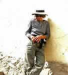
Drive day 1: with
a car rented in Cairo we headed North
East to the official starting point for the Exodus. Since all the road signs were in Arabic
(which we can't read) it didn't take long to get lost. Instead of heading
NE, we somehow circumvent Cairo to the south-west. Eventually we got back on track and arrived at the site of the City of Rameses (now Tanis) in the Land of Goshen (now Delta Nile), the starting point of the Exodus. We failed to find the
archeological dig at the Rameses site that we read about somewhere. From Tanis we proceeded on unpaved backloads, passing
scenic villages on branches of the Nile, to the general area of Succoth (present day
Toll el Maskhutah) where the Exodus supposedly camped on the first night out.
But then we got lost for the second time this day. We were rescued by a
bosterous wedding party riding on the back of a truck. They somehow
undestood our predictment and our desire to find the way to Lake Timsah.
They indicated to follow them and led us to back to the main road. |
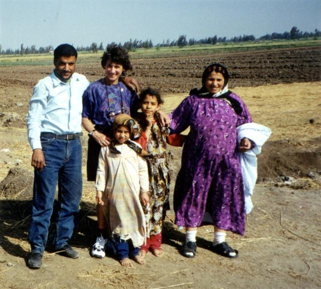
Nile Delta, in the area of City of Rameses
(now called Tanis). Above: Marlene with Tanis family.
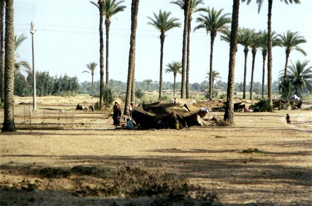
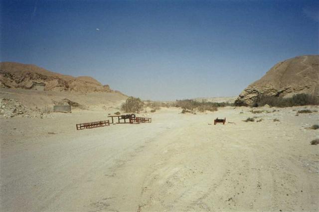
Near 1st night Exodus camp (now Bedouins camp)
Great Bitter Lake at Fayed, possible Sea of Reeds crossing.
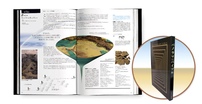
This photo is featured in the
Panoramic Bible
published 2005 by the Japan Bible Society. (Sample page below)
|
|
|
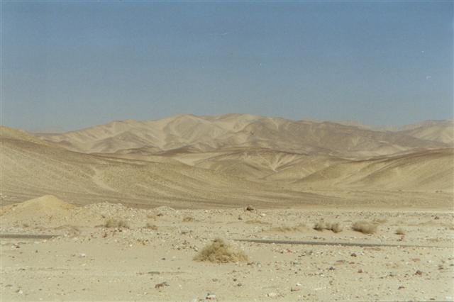
Modern view of Sinai desert soon after Sea of
Reeds crossing.
Moses Spring.
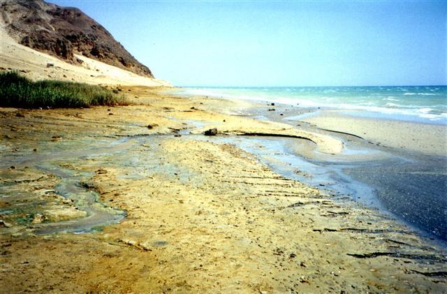
Hammam
Far'un where the Pharaoh's chariots were stuck in the mud. The mud is
still there.
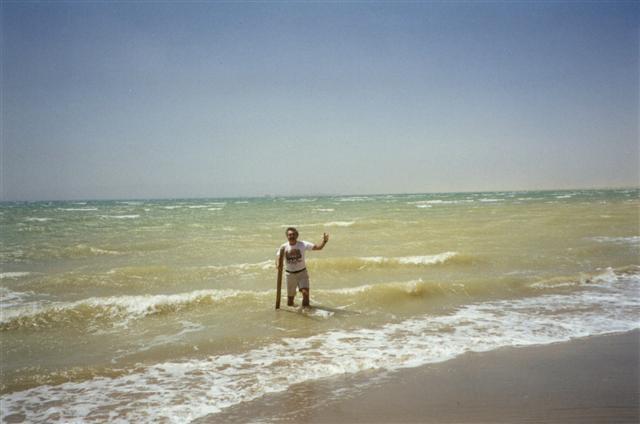
Tourist re-enacting sea crossing at Hammam Far'un.
The Biblical site of Elim.
Looking inland towards Sarabit el Khadim (which is
far beyond the nearby hills we see here).
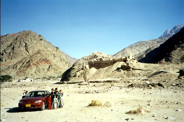
The village children give us a nice reception at Feiran.
Drive day 4: The road from Mt. Sinai to Nuweiba (on
the Gulf of Aqaba) cuts through one of the most beautiful and colorful
deserts we have ever seen. This desert is Bedouins country.
There are many
camels, small villages, and opportunities to ride camels and buy Bedouin
crafts along the road. Nuweiba, on the Gulf of Aqaba, is over run with young Israeli
tourists, but still very nice place to hang out for a couple of days.
The beaches are stupendous.
The Exodus supposedly turned North at this
point, heading to Kadesh barnea where the troops camped for a year while scouts were sent into the land of Israel. For us
there were several logistical problems with getting to Kadesh Barnea
such as a need for an off-road vehicle (not available that week) and getting special permits
from the authorities
(not enough time).
We'll pick up
the trail at Kadesh barnea in a future trip. That'll be Part II of the
story.
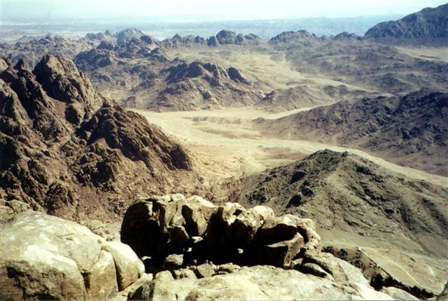
View of Gulf of Aqaba
from top of Mt. Sinai
A closer view of the Gulf of Aqaba. Marlene at a beach bar, Nuweiba. |
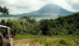
About 50 km on the main road and we arrived at to Lake Timsah, which is one of the possible crossings of the "sea of
reeds." In biblical times this lake may have been a marshy
lagoon with large tides which could explain the parting of the sea. The "sea of reeds" is frequently mistranslated
as "Red Sea." (Whether this is true or not, a
publisher found our "crossing" photo through this page in early 2005 and asked
permission to use it in the
Panoramic Bible.)
South of Timsah is the Great Bitter Lake, and
another possible Exodus crossing point. Today it is surrounded by
condos and resorts. In Fayed we found an excellent hotel for our
first night out of Cairo: Helnan Morgan [$$,*] (part of the Helnan
Intenational Hotels) with a large room and windows overlooking Great Bitter
Lake.
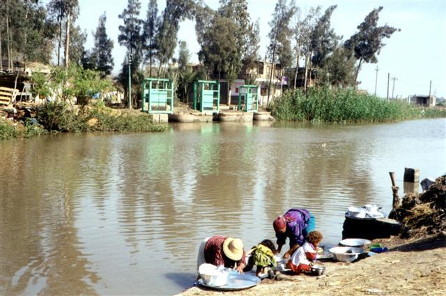
Drive day 2: We did our
version of the "crossing" on the following morning in a
ferry crossing the Suez
Canal [**] just south of the Great Bitter Lake. There is
also a road tunnel under the canal a bit further south but crossing by ferry
is much more interesting.
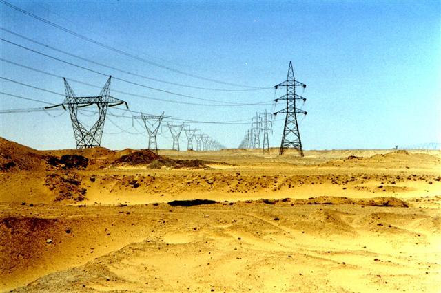
After the crossing we got our first glimpse of a real desert - just as the Exodus may have seen it (except for the power lines). Not much further is the Oasis
of Marah (Moses Springs), which is one of the very few biblical points of
interest that is actually marked by official road signs (in English too). It was then
and still now a brackish salt pond. Moses is said to have turned this
bitter water into sweet with his magic wand.
Continuing the Biblical tour: out next stop
was Hammam Far'un (hot springs) where the Pharaoh's chariots were
supposedly stuck in
the mud and drowned. Of course this doesn't make sense since the
crossing took place much further North. Anyway, it is a muddy
beach and the mud makes a good story.
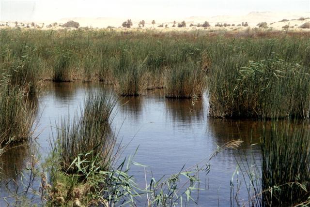
Next stop: Elim (today known as Wadi
Gharanai). It is a very very small oasis. The Exodus rested here.
After Elim the Exodus turned inland to the mines at Sarabit el Khadim.
When we visited it was not advisable to go inland here without a guide and
permission from the military. We had neither so we decided to continue on the coastal road, turning inland only when
we reached the main road to Mt. Sinai.
We reconnected with the Exodus route at the oasis of Feiran
(the largest oasis in the Sinai). In Biblical times it was called Rephidim
and was the site of the first battle of the Israeli tribe. We had a
nicer reception: a group of children
came out to greet us.
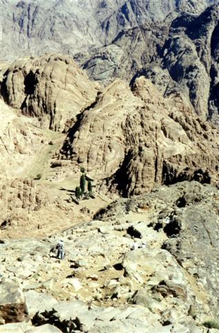
Next stop: Mt. Sinai. The accommodations and food at the Mt. Sinai
base were a low point of the trip.
Drive day 3: However, the strenuous but very
scenic hike up Mt. Sinai [*] on the following morning was very rewarding. (Always
start the hike very early to avoid climbing in the mid day heat.) At the top
you can see the Gulf of Aqaba, which is the direction the Exodus headed after the party was over at Mt. Sinai.
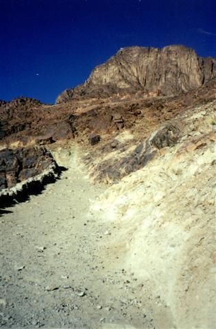
Trail up Mt Sinai
Oasis near top (nice location for chiseling
tablets).
Mt. Sinai camp site
|
|